
Infrastructure & Asset Documentation
Better access. Better documentation. Better context.
Infrastructure and large physical assets can be difficult, time-consuming, or costly to document from the ground.
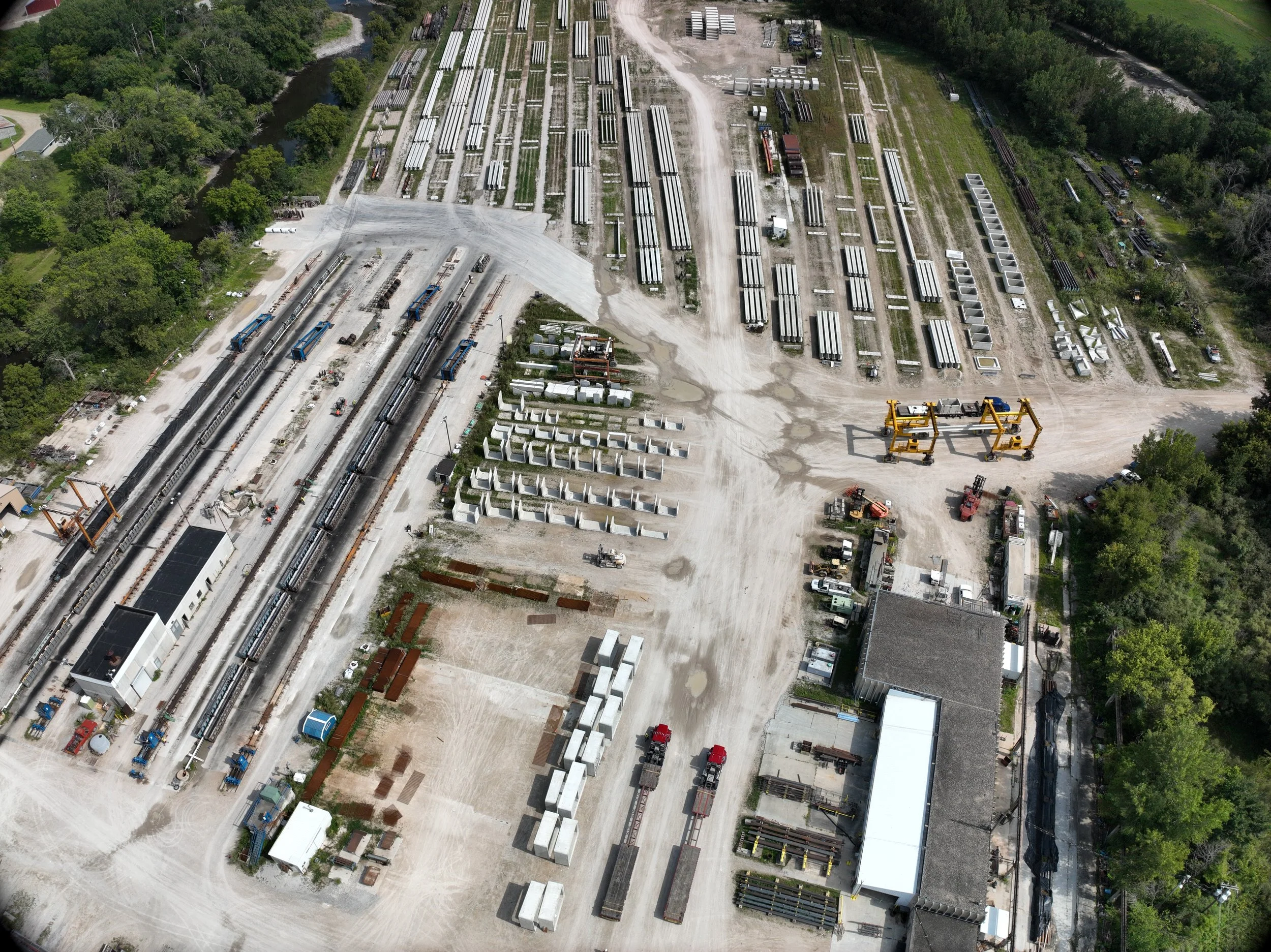
Drone-based documentation gives engineering teams, contractors, facility managers, and asset owners a way to capture high-resolution imagery, detailed site context, and digital models of structures without relying solely on lifts, scaffolding, or limited ground-level viewpoints.
Whether the goal is to document existing conditions, support an engineering review, create a visual record of an asset, or better understand a difficult-to-access structure, Iowa Drone Solutions can build a capture plan around the information your team actually needs.
What Drone-Based Infrastructure Documentation Can Provide
High-Resolution Visual Documentation
Capture detailed photographs of structures and assets from angles that may be difficult or inefficient to reach from the ground.
This can be useful for documenting:
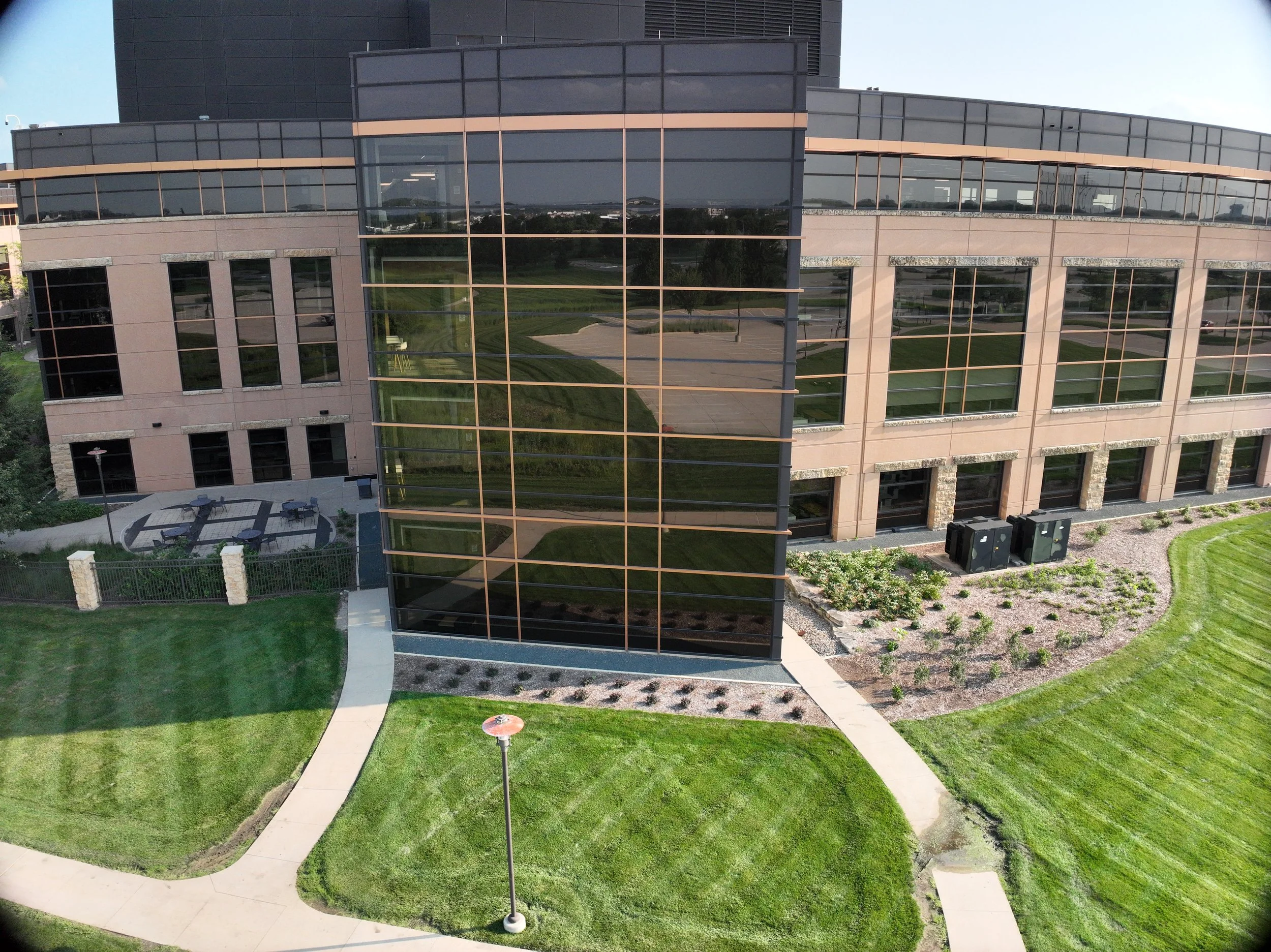
Building façades
Bridges and elevated structures
Utility infrastructure
Towers and telecommunications assets
Rooflines and exterior components
Large industrial or commercial facilities
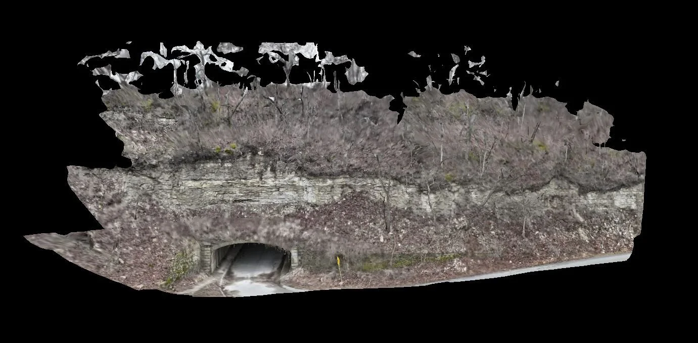
Imagery can be captured systematically and organized so your team can efficiently review specific elevations, components, or areas of concern.
Organized Deliverables for Remote Review
Capturing the imagery is only part of the job.
Files can be organized by building, elevation, structure, asset, or inspection area so engineers and project teams can quickly find the information they need.
Instead of sorting through hundreds or thousands of unrelated photographs, your team receives a structured visual record designed around the project.
3D Models & Site Context
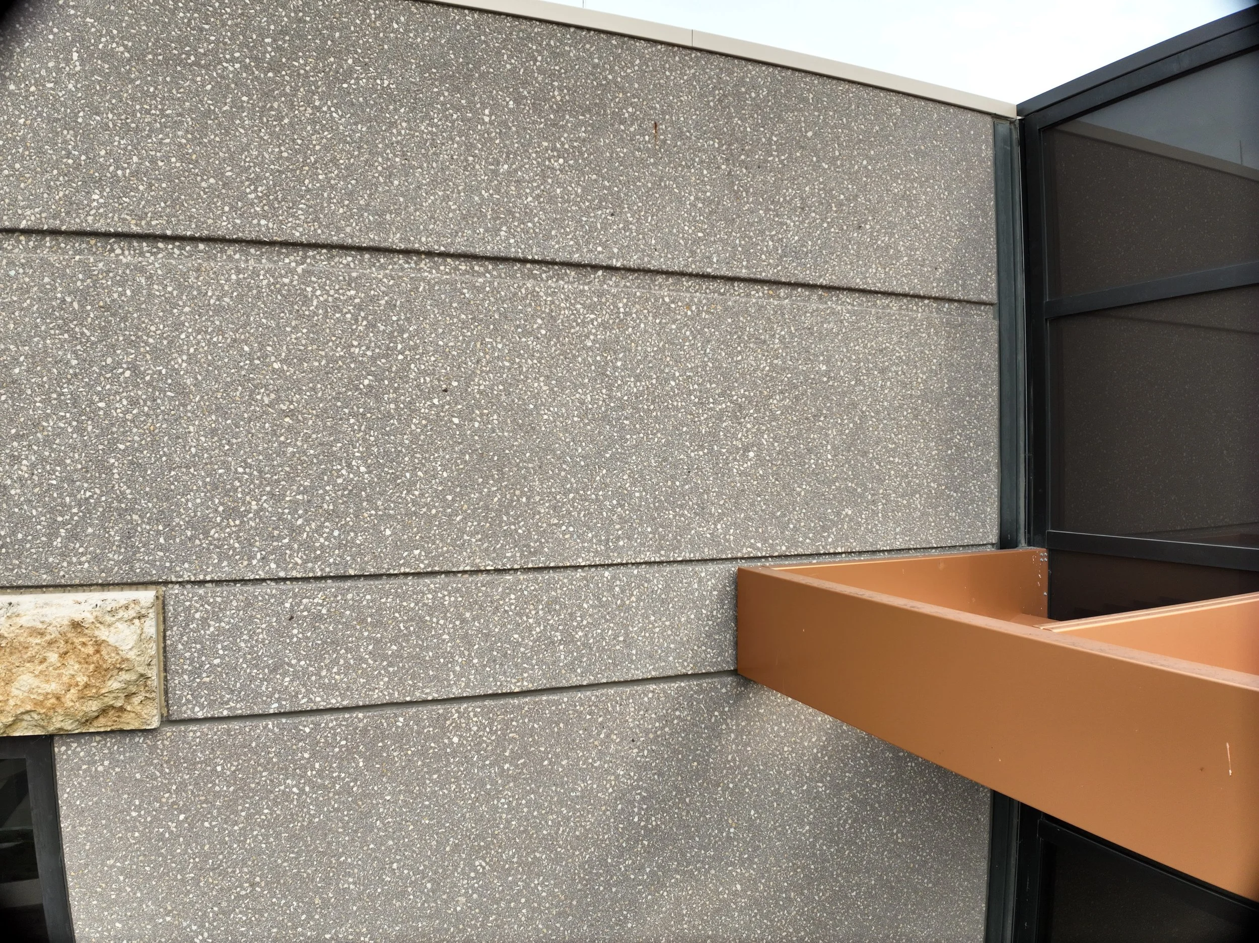
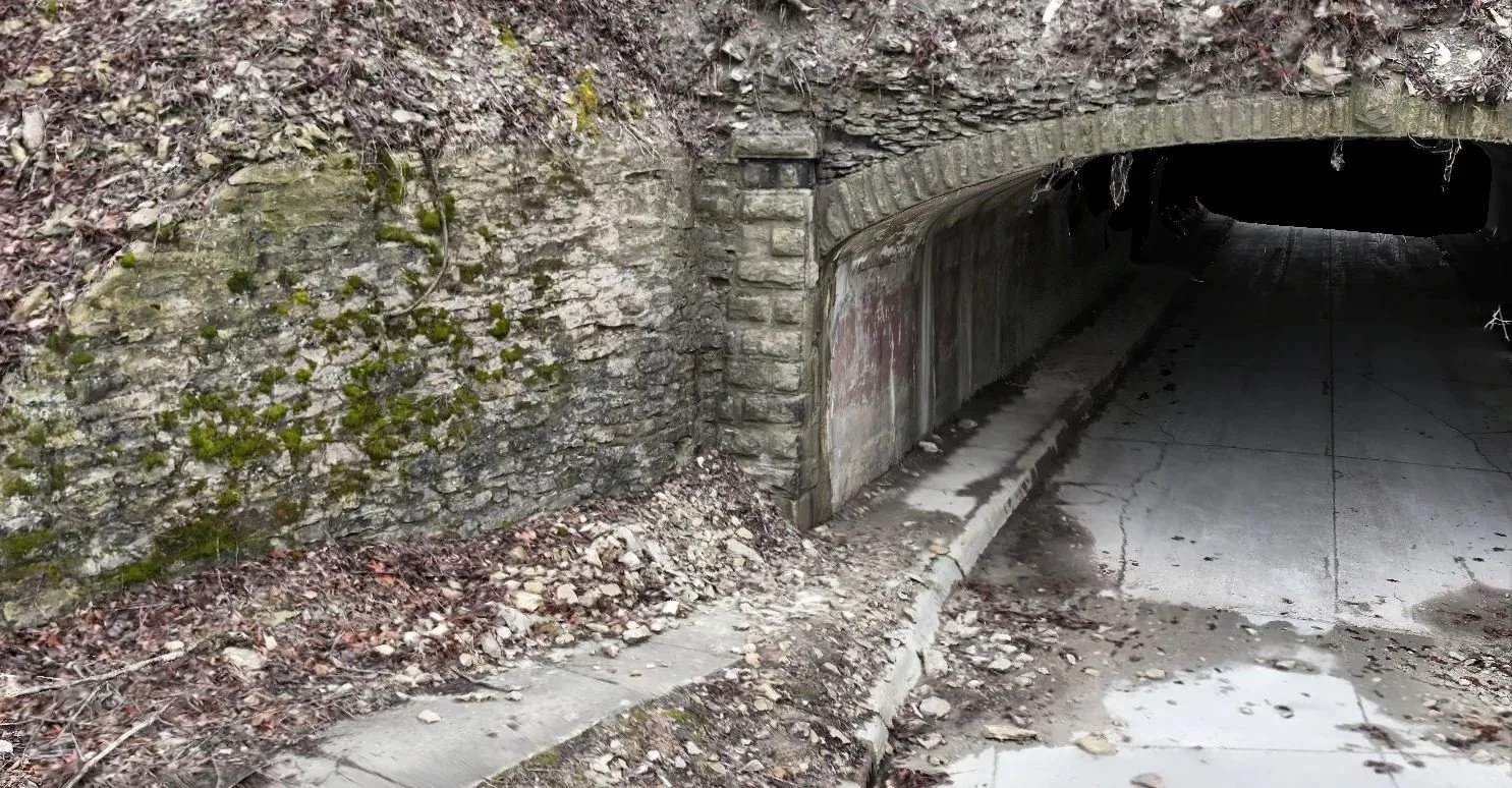
Hundreds or thousands of overlapping aerial photographs can also be processed into detailed 3D models of structures and surrounding conditions.
These models can provide engineering and project teams with another way to remotely review an asset, understand its geometry, visualize hard-to-access areas, and reference approximate dimensions or spatial relationships.
When survey-grade accuracy is required, we can coordinate with licensed survey professionals to incorporate appropriate control and verification.
PROJECT
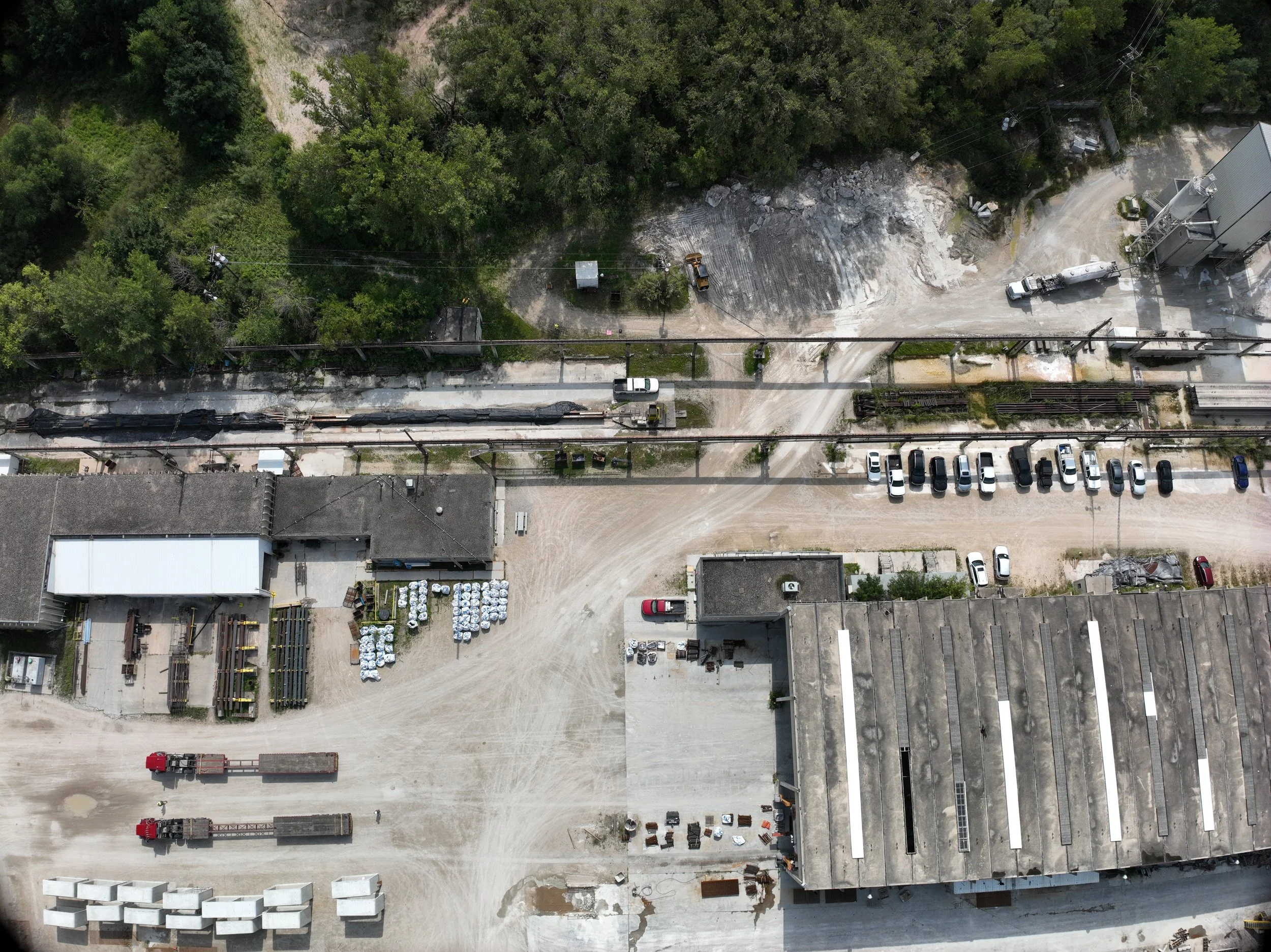
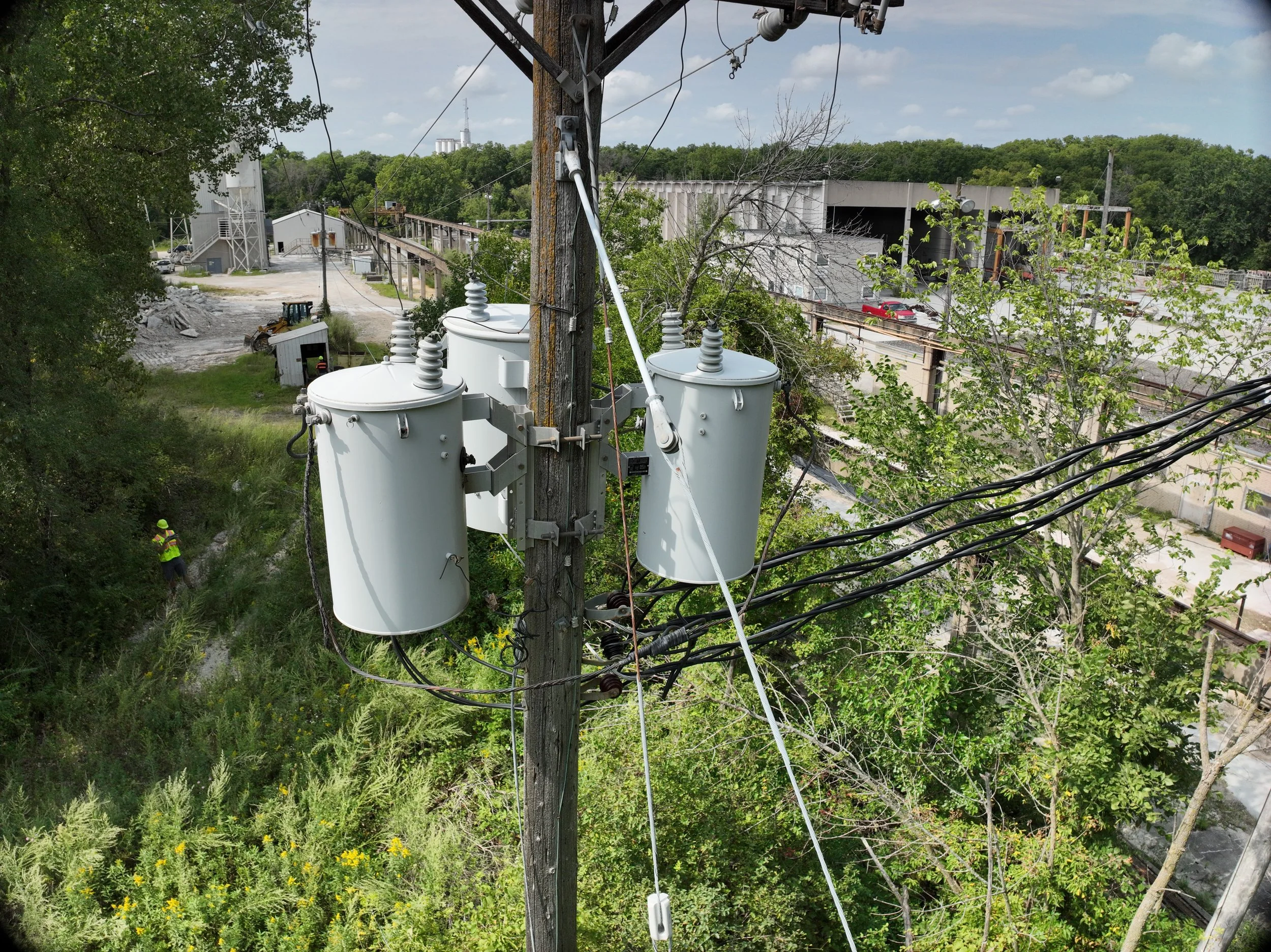
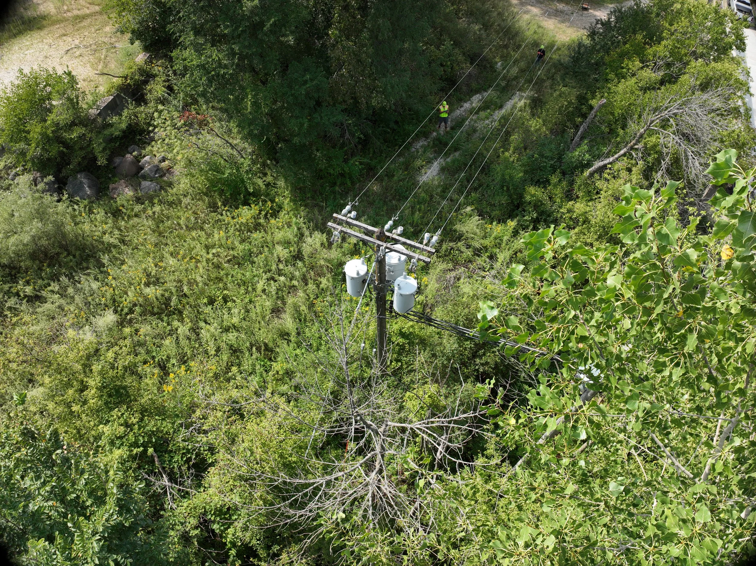
Pole-Mounted Transformer Documentation
CLIENT NEED
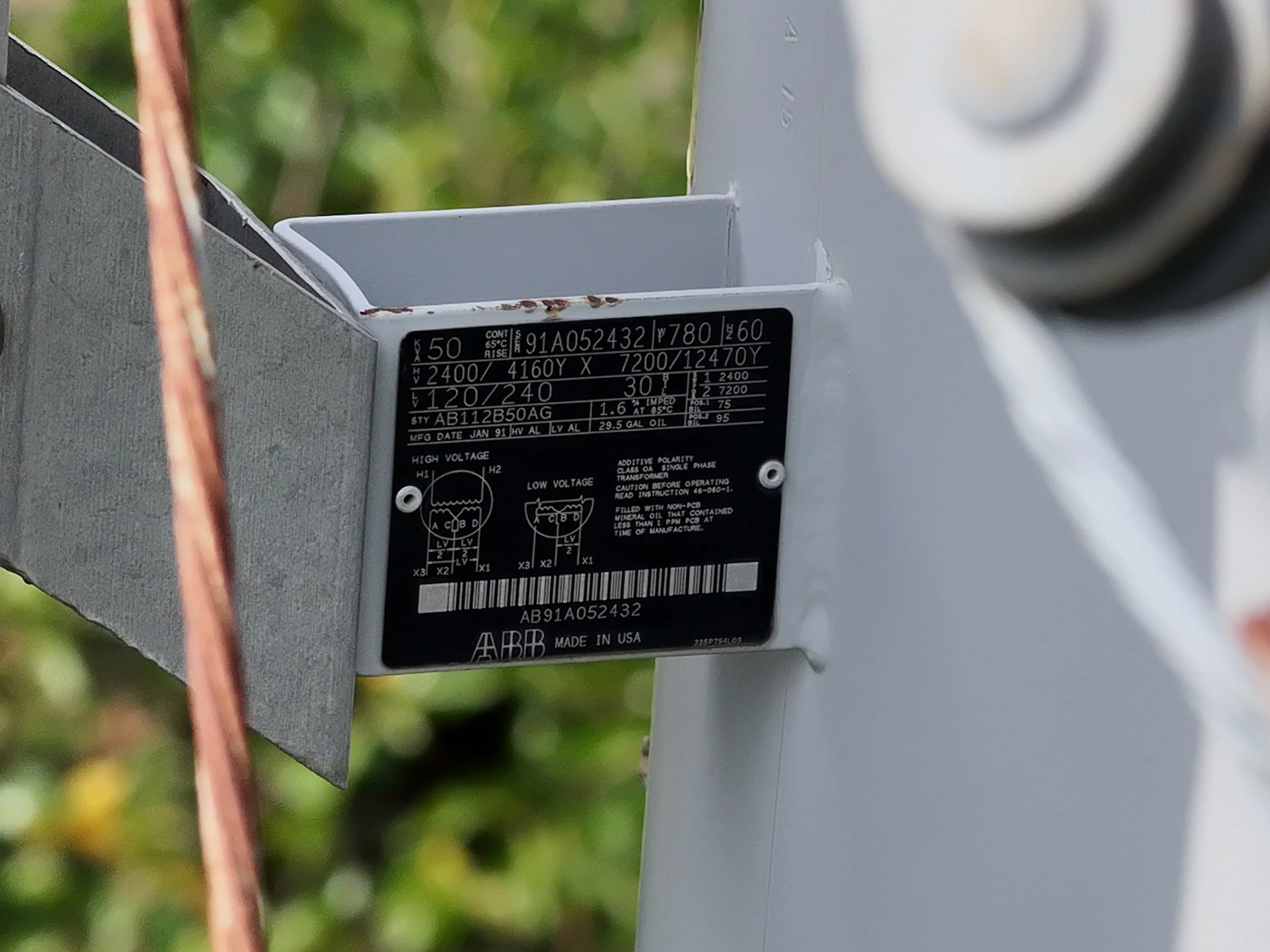
Document the existing condition of six pole-mounted transformers and capture clear, readable imagery of each transformer’s identifying nameplate.
CAPTURE
Close-range, high-resolution imagery was captured around energized electrical infrastructure while maintaining safe operating distances and minimizing disruption to the site.
DELIVERABLE
Organized JPG imagery of each asset and corresponding nameplate, delivered digitally within 24 hours of the flight.
VALUE
Eliminated the need for personnel to physically access elevated equipment
Allowed equipment to remain energized during documentation
Provided clear visual records of each asset and identifying information
Rapid turnaround from approved proposal to completed delivery
Featured Projects
Have an Asset That's Difficult to Document?
Tell us what your team needs to see.
Whether you're documenting existing conditions, supporting an engineering review, evaluating a difficult-to-access structure, or building a long-term visual record of an asset, we'll help determine the right capture method and deliverables for the project.