
Drone Services
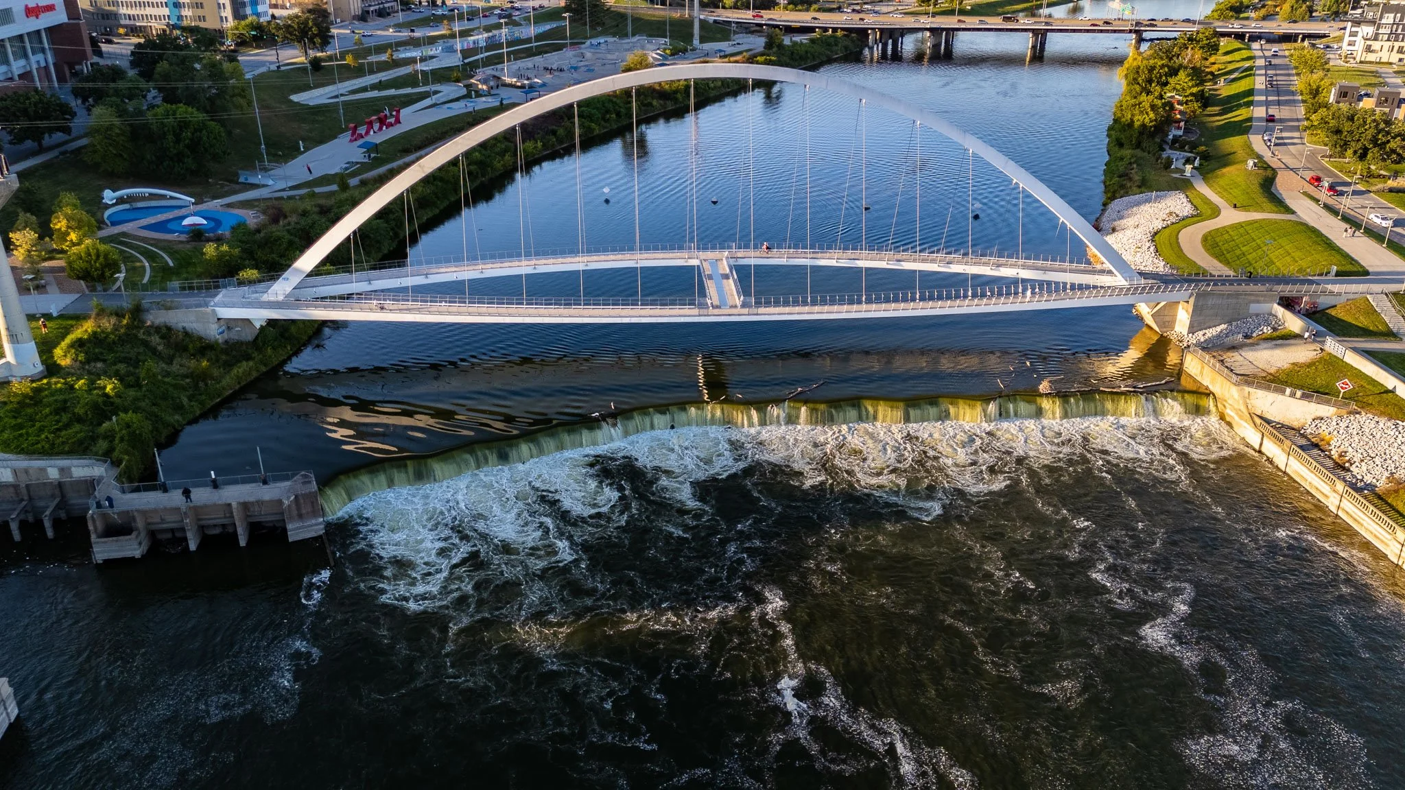
Aerial Photography
Whether you want your pictures to stand out for social media, be high-resolution for asset documentation, or just be consistent and reliable for recurring site work; we have you covered.
Aerial Videography
Need footage for Marketing, Social Media, Stakeholder Updates, or Project Documentation?
We give you exactly what you need - cinematic drone footage to tell a story, or precise videos with sharp imagery, showing the same subject from the same exact perspective.
Site Mapping
See your entire job site in one detailed view.
Site Mapping (Orthomosaics) combines hundreds of overlapping drone photos into a single high-resolution aerial map.
Unlike a single aerial photo, maps provide a consistent top-down view that can be zoomed into to review site conditions.
Project Time Lapse
With at least 4 prior site visits, we are able to create a time lapse video of your project. The time lapse shows the subject in the exact same position from each site visit, but you can see precisely what changes from date to date.
These make for great portfolio, social media, or marketing videos.
Panorama Photos
Interactive panoramas let viewers look around from a fixed point above your property or job site, exploring the surroundings at their own pace.
Give clients a sense of a property’s location, share a job-site overview with stakeholders, or capture matching viewpoints across recurring visits to show how work progresses.
3D Modeling
View your asset from every angle.
We capture hundreds to thousands of photos and combine them into a detailed 3D model of your asset.
Derive measurements or plug the data into CAD software for inspection and use.
Construction Progress Documentation
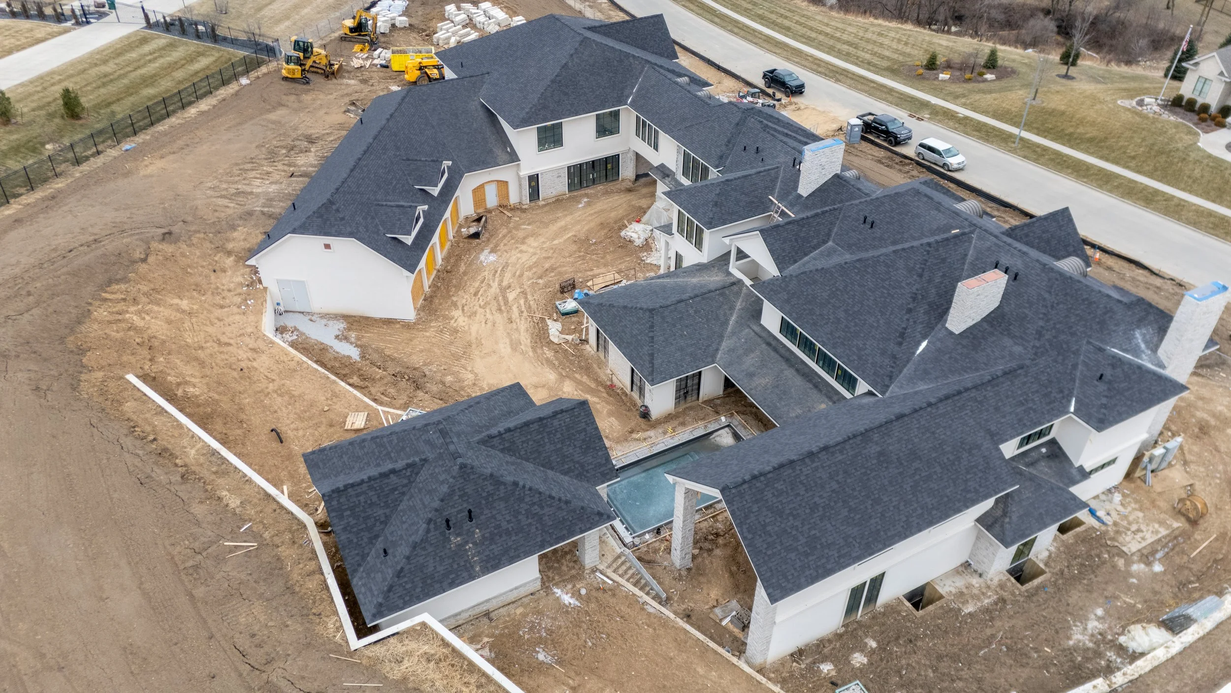
Track your project from the same perspective every time. Repeatable aerial missions provide consistent photography, video and mapping throughout construction—giving your team a clear visual record of what changed, when it changed and where it happened.
Essential Documentation
Keep your team informed with recurring aerial photos and video from consistent viewpoints. Each visit adds a dated visual update, making it easy to follow progress and compare changes throughout construction.
Each visit:
Repeatable viewpoints
Same positioning, elevation, and camera angles
15–25 Edited, high-resolution photos
Short 4k video clips highlighting main site features
Organized and dated file delivery via Dropbox
Starting at $300 per site visit
Enhanced Documentation
Combine recurring photos and video with a detailed site map and interactive 360° panorama. Review progress up close and across the entire site, with a broader view of current conditions and changes between visits.
Everything from Basic Documentation, plus:
Full-site, high-resolution Orthomosaic (2D Site map)
GeoTIFF + High-resolution JPG/PDF
Basic distance/area measurement capability
Aerial 360° panorama
Starting at $500 per site visit
★ RECOMMENDED
Comprehensive Documentation
Build a more detailed project record with recurring imagery, site maps, panoramas, and 3D models. An end-of-project time-lapse brings the updates together to showcase how the project took shape.
Everything from Value Documentation, plus:
Project Time Lapse (completed at end of project)
Using imagery from each site visit we create a Time Lapse video at the end of the project
3D site model each visit
Created from hundreds to thousands of oblique photos, you can see 3D renderings of your site to best capture what the exact conditions were at that period in time
Starting at $750 per site visit