
Construction Documentation
Track progress. Improve visibility. Build a better project record.
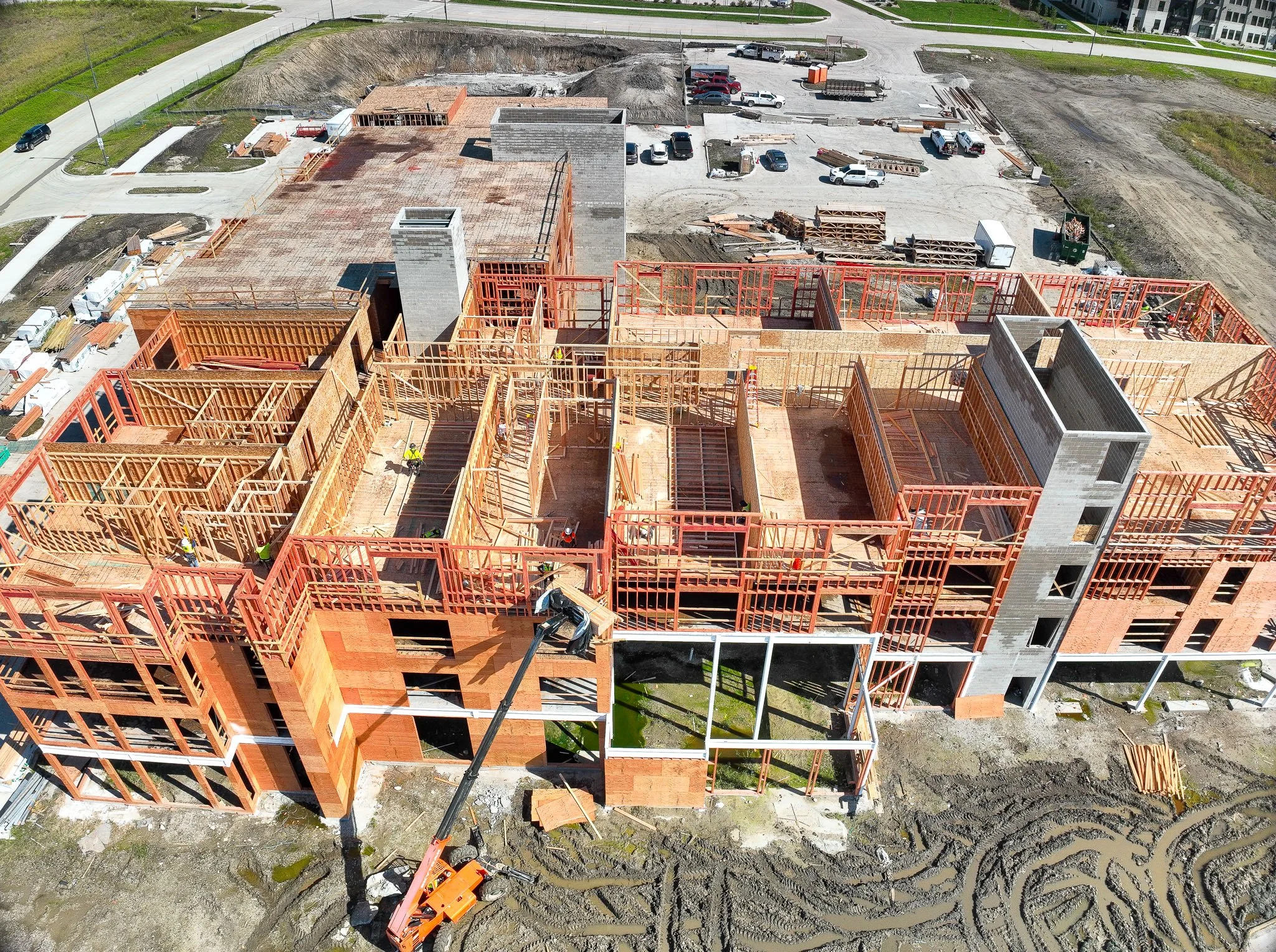
Construction projects change every day, but traditional ground-level photos only capture part of the story.
Drone-based construction documentation gives contractors, project managers, owners, and stakeholders a clear view of the entire jobsite — making it easier to monitor progress, communicate project status, and maintain a visual record of changing site conditions throughout the life of a project.
Whether you need a one-time site overview or recurring documentation from groundbreaking through completion, Iowa Drone Solutions can build a capture plan around your project and the information your team needs.
What Drone-Based Construction Documentation Can Provide
Consistent Progress Documentation
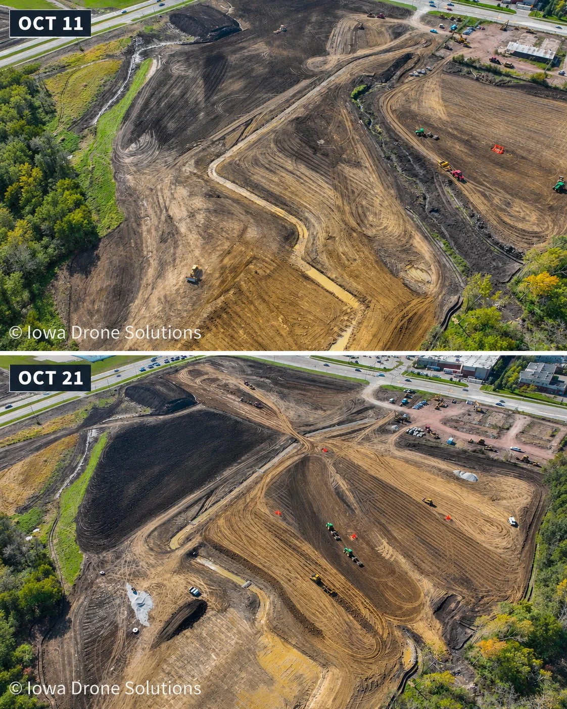
Document your project from repeatable viewpoints throughout construction to create a clear visual timeline of how the site changes.
Recurring aerial capture can help teams:
Monitor overall project progress
Compare current conditions with previous dates
Document major construction milestones
Maintain a timestamped visual record of the site
Provide owners and stakeholders with regular project updates
Preserve documentation for future reference
When flights are repeated throughout the project, imagery becomes more than a collection of photographs — it becomes a visual history of the build.
Organized Deliverables for Project Teams
Capturing the site is only valuable if the information is easy to use.
Images can be captured from consistent locations and organized by flight date, project phase, area, or deliverable so teams can quickly compare conditions and locate the information they need.
Depending on the project, deliverables may include:
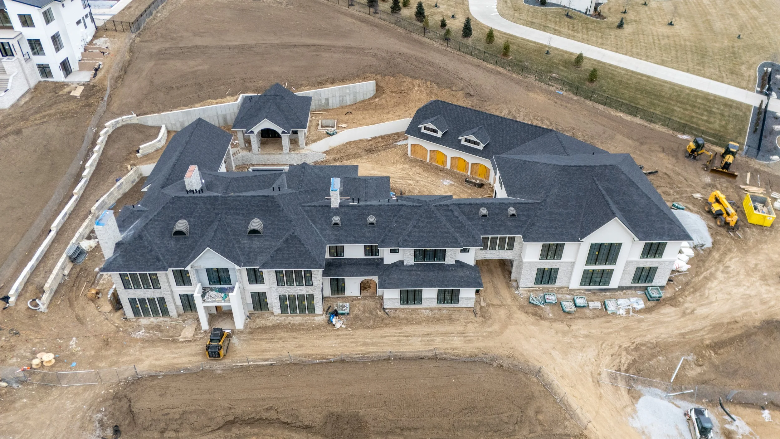
High-resolution aerial photographs
Repeatable progress photographs
Top-down site imagery
Orthomosaic maps
3D site models
Progress videos
Marketing and milestone imagery
The goal is to provide a project record that remains useful long after the drone leaves the site.
Complete Jobsite Context
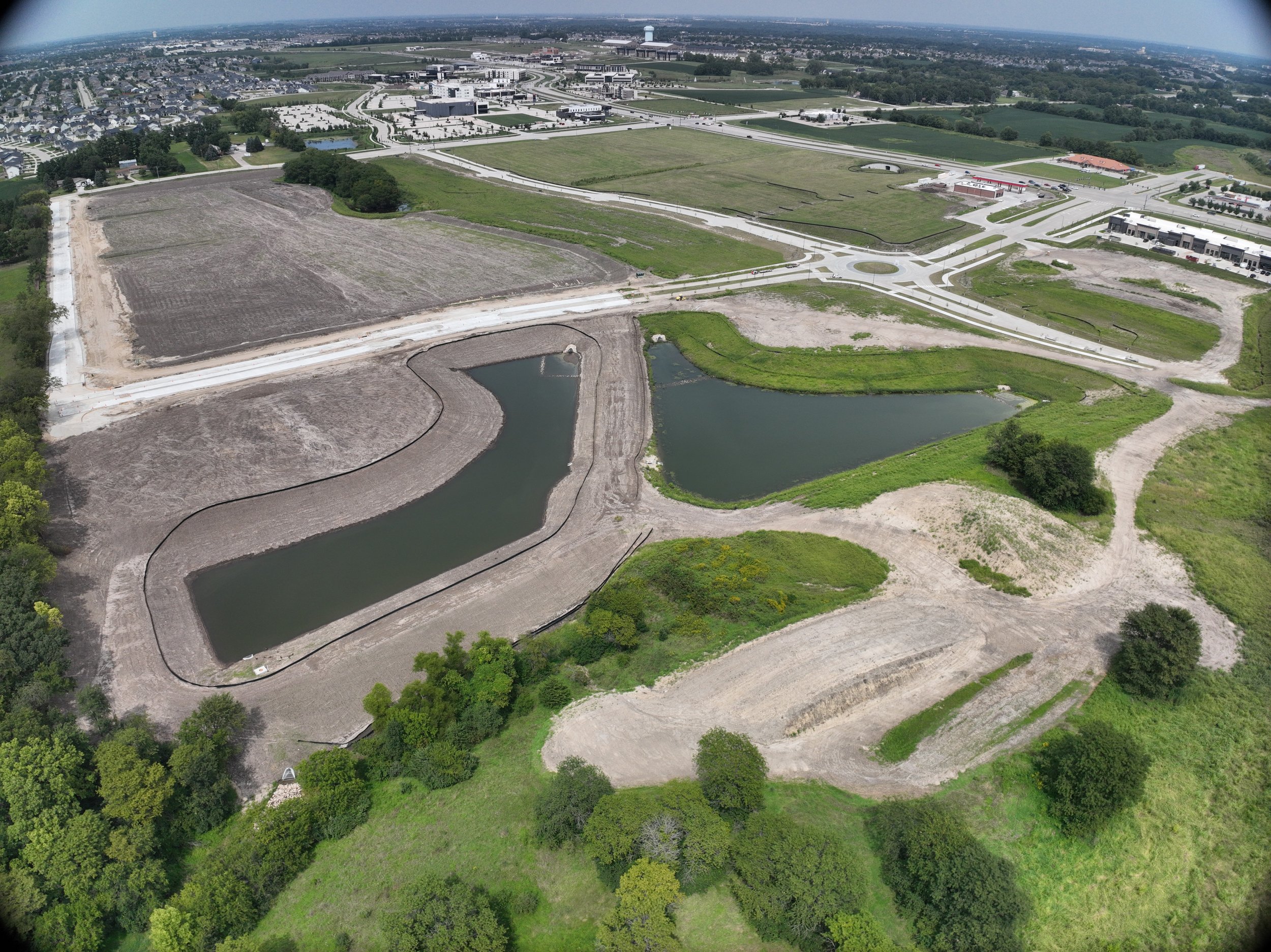
Aerial imagery provides a perspective that can be difficult to achieve from ground level.
Wide-area photographs, top-down imagery, and mapped site data can give project teams a clearer understanding of site layout, staging areas, access routes, material placement, earthwork, structures, and surrounding conditions.
This broader perspective can support project coordination and give both on-site and remote stakeholders a quick way to understand what is happening across the entire jobsite.
Have a Project You Want Documented?
Tell us what you're building and what your team needs to see.
We'll help determine the right capture schedule and deliverables for your project.